At a glance
GR trails are excellent routes for your walks or hikes.
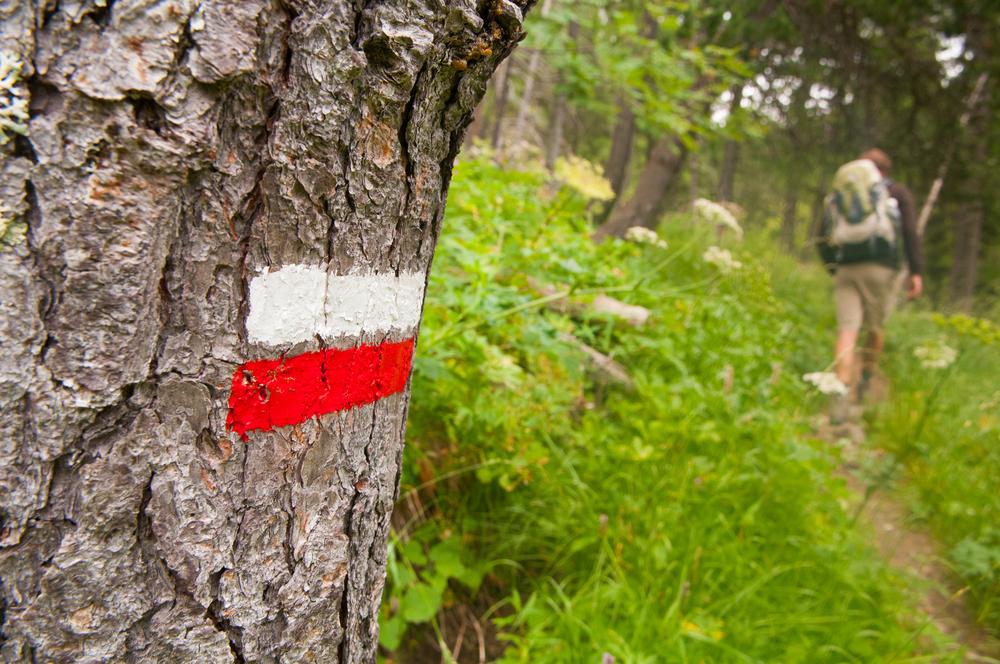
Who hasn't seen two parallel bars, painted red and white, along a path or trail? It's the best-known distinguishing mark of the Grande Randonnée (GR) long-distance hiking trails.
What are GR trails?
Long-distance hiking trails (GR, for "Grande Randonnée") exist in most European countries. They are most extensive in France (Grandes Randonnées), Belgium (Grandes Randonnées/Grote Routepaden), the Netherlands (Grote Routepaden or Lange-Afstand-Wandelpaden), Spain (Grandes Recorridos) and Portugal (Grande Rota). They pass through the most beautiful, and sometimes the wildest, parts of the regions they cross, and link up historic sites.
GR trails can range from just a few kilometres for the shortest routes, to several thousand kilometres.
GR trails are protected. The trails and their markings are maintained by members of their association or by volunteers.
Vast national and international networks
Some GR trails stretch from northern to southern Europe, from Scandinavia to Ireland, from the Baltic Sea to the Mediterranean, from the North Sea to the Italian Riviera…
They can connect to, or form part of, historic routes or old pilgrimage roads, such as the GR65, which leads to Santiago de Compostela.
Probably the toughest (and most athletic) GR trail links the north and south of Corsica (GR20).
In France alone, the network stretches over more than 60,000 km, and in Wallonia and Brussels over more than 5,000 km. Flanders also has an extensive network.
Some GR trails are circular, allowing hikers to return to their starting point.
GR trail markings
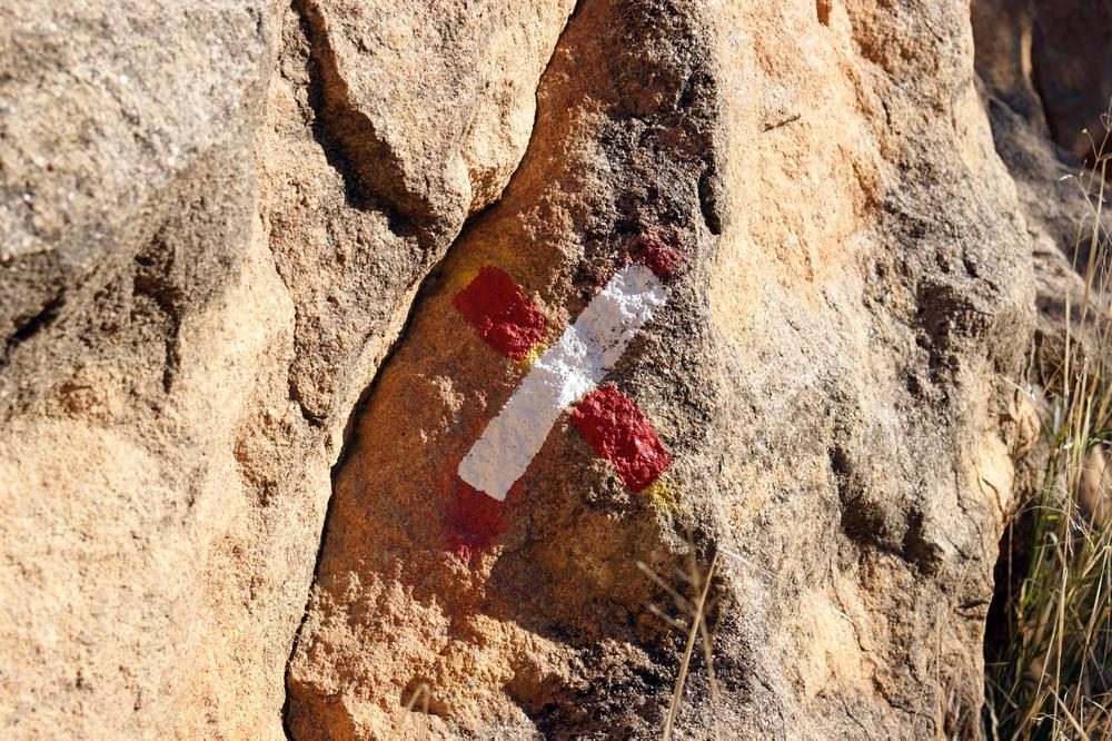
GR trail markings are protected and therefore cannot be used by outside organisations wishing to mark out their own trail.
The colours (white and red) were chosen because they're the most visible when applied to a tree, a rock or a sign. Some countries also use yellow or green (usually to indicate secondary trails).
The markings are simple and coded (two parallel bars indicate the path to follow, crossed bars mean the route being followed is wrong, several bars indicate a change of direction, etc.)
Numbering
The main (international) routes are indicated by the letters GR followed by a number.
E.g. GR5 = the route running from the North Sea in the Netherlands to Nice.
If the number consists of GR + 2 digits, the first digit refers to the main route, the second to a secondary route. If it consists of GR + 3 digits, it refers to a main route with a branch onto a secondary route.
Each country has its own numbering, but follows the international numbering system. Belgian numbering is linked to French numbering.
GR trails for long hikes or day walks
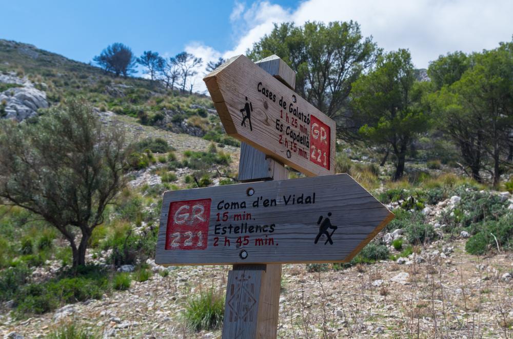 In many countries, including Belgium, GR trails are complemented by routes suitable for cyclists or adapted for cycle touring. So your hike can be varied with a cycling route.
Covering a GR trail over several kilometres for a few days can be a goal in itself (or a holiday goal). But there's nothing stopping you from taking advantage of your holiday destination to go on a shorter walk by following part of a GR trail. The route is always worth it!
Where can you find information?
Online, you'll find a large number of websites detailing the route of each GR trail (just enter the trail number).
Many guides and publications list places along the route where you can eat or stay (campsite, hotel, bed and breakfast, etc.) and give details of the route (on a topographic map).
Tourist offices located along the GR trails will certainly be able to help you too.
Useful websites
Belgium
http://www.groteroutepaden.be/\
France
http://www.gr-infos.com/gr-fr.htm
Spain
Portugal
https://pt.wikipedia.org/wiki/Lista_de_percursos_pedestres_de_grande_rota_em_Portugal
Netherlands
Also read: